


Maps
MAPS
There are a number of online sources for accessing maps of Herefordshire and these can be accessed by going to the LINKS tab. Many of these are Ordnance Survey (OS) and are lacking in detail until the 1870s.
Herefordshire’s tithe maps dating from the 1830s to 1840s are the first maps of the county which were accurately measured. They are available online from a genealogical subscription website (see PEOPLE), the diocesan originals being in the Herefordshire archives with copies in the National Archives. Geoff Gwatkin has published copies of these which are available to purchase. The advantage of most of the tithe maps in the Herefordshire archives is that dwellings are coloured pink or red, outbuildings grey. This is valuable for house history research.
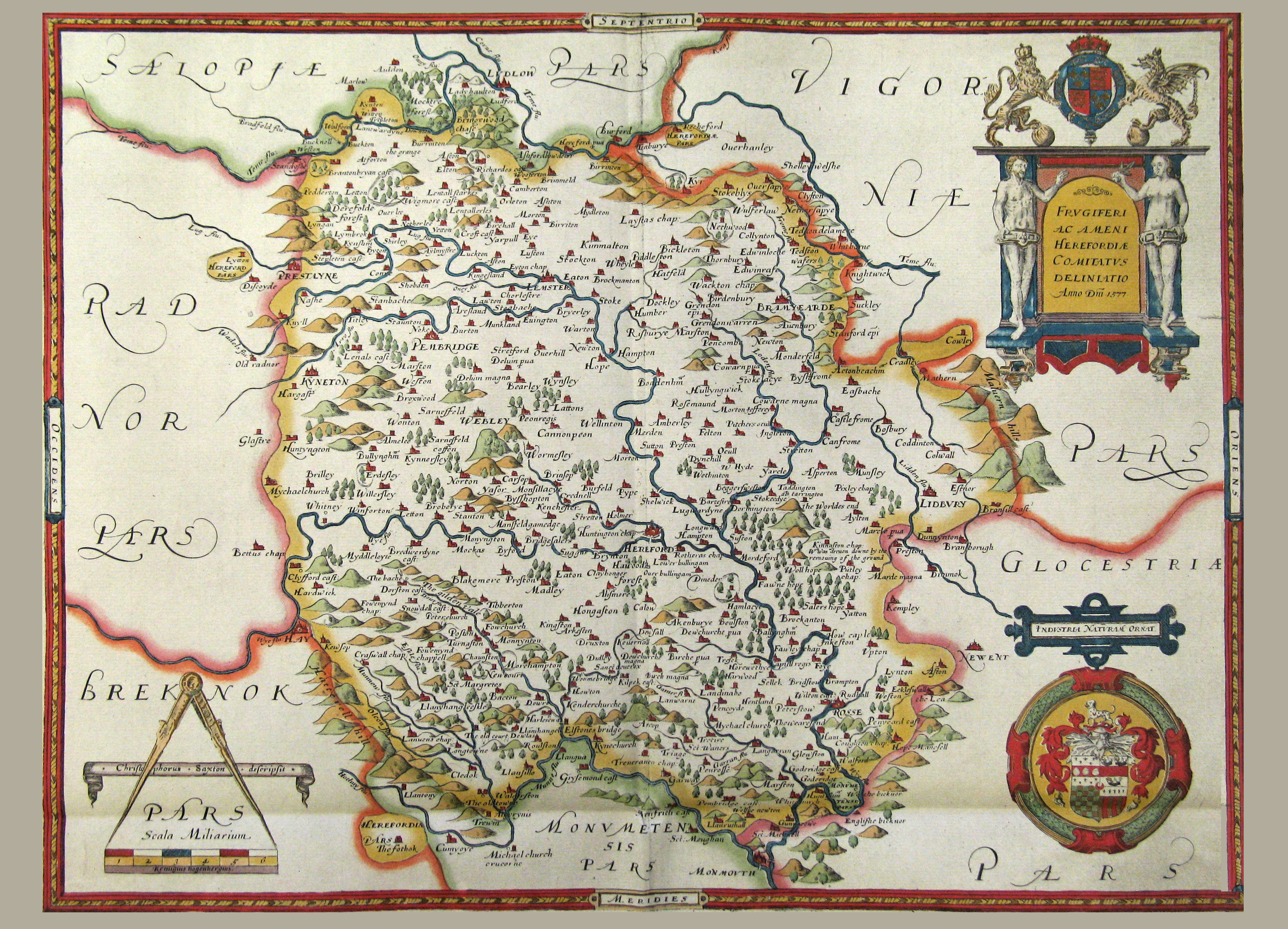
However, there are many more maps in the archives, in private hands or in the Club’s library. A number are surveys which have additional information on owners, occupies and field names. The Club published member Brian Smith’s Supplement to Herefordshire Maps 1577 to 1800 in 2012, his original volume being published by Logaston Press in 2004. The books list all known maps but new ones regularly turn up in private collections. Some are attached to land deeds and although they may cover a small area have valuable information.
When searching for maps they will normally have keywords for the parish or parishes concerned, date if known and place or estate name. Currently there are 239 civil parishes in Herefordshire. The parish name(s) given the parish boundaries at the time of the map, but be aware that re-organisations of parish boundaries or county have taken place in the interim and you may have to check other parishes to find a specific building.
|