EXPOSURES
EXPOSURES
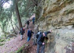
This section allows members to record geological exposures which have become visible, maybe only for a short time, as a result of land slip, road works etc. The information that needs to be recorded is a fairly precise location - preferably latitude /longitude or map reference (use your phone to find this or use MAP TOOLS the Maps topic); a description and a note of the circumstance of the exposure and a photograph or two.
Get in touch with Geology on the Contact Us tab for advice about submitting entries.
