WATER MEADOWS
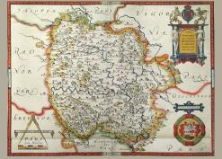
A commonly-held definition of a water meadow is that it is a low-lying grazing field near to a river or stream which is accidentally flooded during the winter and spring which leads to an early flush of grass. The observation that this happened in practice no doubt led to the deliberate irrigation of meadows by management of water flow. Herefordshire is one of the first counties to try to identify the county's water meadows by the use of modern surveying techniques such as LIDAR as well as the usual sources of documents, maps and aerial surveys. Historic England funded the project and the outcome was an 82-page report, Herefordshire Water Meadows Identification Project, researched and written by David Whitehead and David Lovelace, both Club members, and Caroline Hanks. As well as a number of cases of water meadow systems, there is a map showing places where water meadows were identified during the project (in Appendix 2) and links to useful websites.
In the time and with the funds available, it was not possible to survey all the county. If, from the map, you think you have identified an unreported water meadow system please get in touch with David Lovelace whose email address is in the report. Please note that all material is copyright of the author(s).
